| Authors | |
| Publisher | Historical Images Ltd |
| Year | 2019 |
| Pages | 1 |
| Version | paperback |
| Readership level | General/trade |
| Language | English |
| ISBN | 9781844918447 |
| Categories | Historical maps & atlases, Local history |
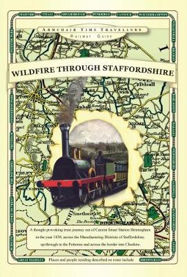
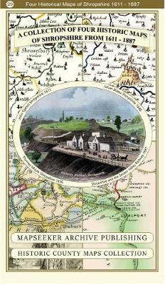
A Shropshire 1611 - 1836 - Fold Up Map that features a collection of Four Historic Maps, John Speed's County Map 1611, Johan Blaeu's County Map of 1648, Thomas Moules County Map of 1836 and a Map of t